“It would be catastrophic:” Missoula officials turn attention to wildfire plan
After Storm King Mountain erupted in fire back in 1994 and killed 14 firefighters, Missoula County Commissioner Dave Strohmaier visited the site.
Strohmaier, a former firefighter, was based in Prineville, Oregon, at the time, and nine of the firefighters killed that day in Glenwood Springs, Colorado, were members of the Prineville Hotshots.
“There were 14 spikes driven into the ground with small brass tags,” Strohmaier said. “The most arresting image that will stick with me is that, within a month and a half, right next to the temporary body markers, were shoots of gamble oak, about the same height, sticking out of the ashes.”
And just down the slope was a subdivision.
Strohmaier recounted the story Wednesday during a joint session between Missoula County commissioners and members of the Missoula City Council, where the new Community Wildfire Protection Plan came under scrutiny.
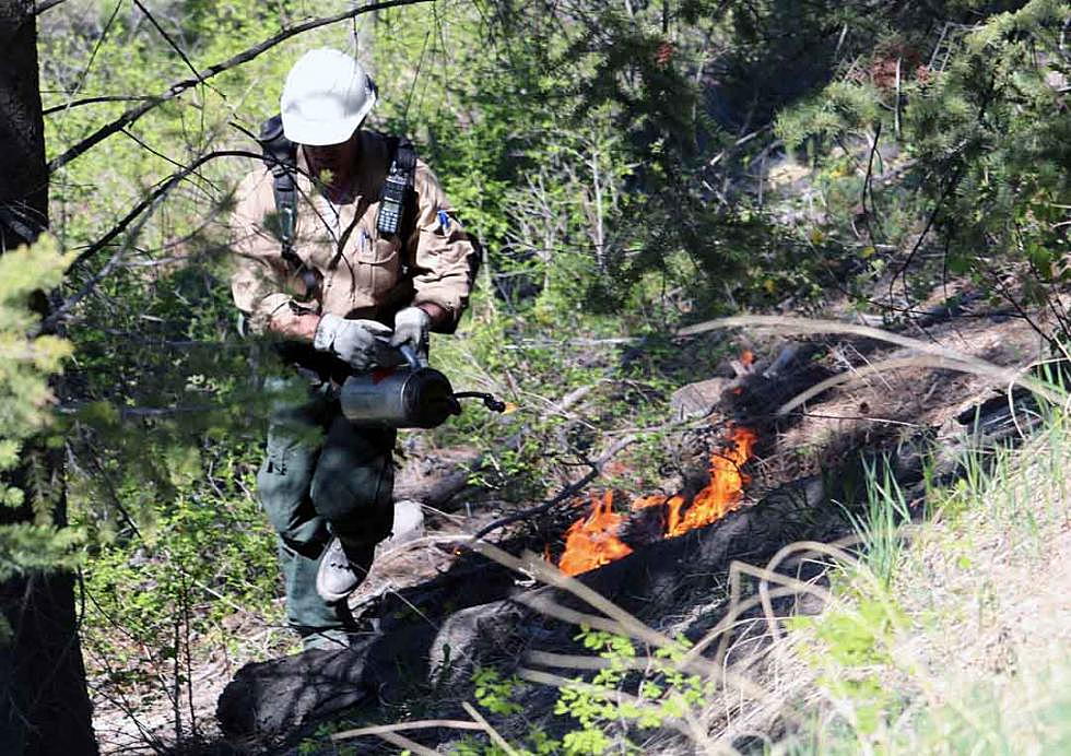
As wildfire becomes a common summer companion in western Montana, both city and county governments are working to adapt to the changes, whether it's offering safe refuge from heavy smoke or creating regulations that cover building in the wildland-urban interface.
Just as the city and county regulate building in the floodplain, so too should they consider “fireplains” when making future decisions, Strohmaier said.
“There are places where people decide to live, or want to live and settle, which either require more mitigation than what we've previously assumed they need, or maybe are places where folks should not be inhabiting,” Strohmaier said. “That's squarely where zoning regulations, subdivision approval and preparing for how we remain resilient in the face of climate change will affect how we occupy these landscapes that burn.”
In a step to address the issue, Missoula County is wrapping up its first update to the Community Wildfire Protection Plan in 10 years. While the plan sat largely untouched since its drafting in 2005, unexpected funding presented an opportunity for a rewrite.
Adoption is set for late May.
“There's been significant advancements in science available to identify and understand the hazard,” said Adriane Beck, director of the county’s Office of Emergency Management. “Being able to dive a little deeper into what that hazard is and putting it on a ranking scale was something we were very interested in doing. We wanted to take advantage of some of the most current science available to understand our hazard.”
While the risks are known – fire is inevitable in western Montana – the hazards weren't clearly understood. But the Rocky Mountain Research Lab and other fire experts helped the county drill down to a detailed map of the county that measured the hazards and risks using modern science.
Beck said that effort can help secure resources, build public outreach and inform decisions regarding subdivisions and fire-wise building materials.
“When we talk about wildfire hazards, people automatically assume if they don't live among the trees, it's not their problem,” Beck said. “This map is highly contradictory to that.”
In fact, Beck said, the map suggests that only a small sliver of the Missoula Valley – that including downtown and much of the West Broadway corridor – sit outside the wildland-urban interface. Many populated areas within the city are susceptible to burning in a wildfire outbreak.
New mapping also includes a wildfire risk assessment, and Missoula County starts at a “relatively high risk.” While the risk is moderate in the city's core, areas such as the Rattlesnake are high.
While that shouldn't come as a surprise, Beck said, the new mapping represents the first time the county has been able to show the risk rather than anecdotally talk about it.
“Over 70 percent of the fires we face that negatively impact our communities are started by lightning, and we can't prevent those,” Beck said. “We have to figure out how we in western Montana – in Missoula – are going to become fire adapted. How are we going to prepare for fire, not necessarily prevent it.”
Missoula council member John DiBari said that while the risk and hazard mapping are robust and telling, he fears they could be misleading. It may lead some to believe that urban areas don't burn, or aren't likely to do so.
But that, he added, is wrong.
“It's Mount Sentinel, Mount Jumbo and the North Hills – if those places were to carry fire to the edge the community – there needs to be a way to articulate what that hazard is,” said DiBari. “While it's low probability, if it did happen, it would be catastrophic.
“The decision-making calculus that goes into where we approve subdivisions and where we approve building permits, I'm hopeful we'll have serious conversations in that regard.”