Winter storm what? Looming storms could slow, end stubborn fire season
They're not calling it season ending, but this week's weather forecast could bring the western Montana fire season to its knees, officials said Tuesday.
And if this week doesn't do it, next week almost certainly will.
Meteorologists at the National Weather Service in Missoula on Tuesday were tracking a low-pressure system that's expected to deliver more than a half-inch of rain in Missoula and nearly three times that amount near the Continental Divide.
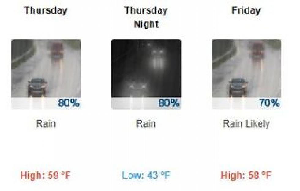
They were also putting the finishing touches on a potential winter storm watch for elevations over 6,000 feet, where as much as five inches of snow could fall Thursday and Friday night.
“We're definitely going to get to see some much-needed, appreciative rainfall,” said LeeAnn Allegretto, a meteorologist with the Missoula office. “Over a period of 24 to 36 hours, our storm total is around .50 to .75 inches, and that's for the Missoula and Bitterroot valleys.”
Further east, the storm totals could bring 1.5 inches of rain. Snow is also forecast for upper elevations and could prompt the season's first winter storm watch.
“It's not like a huge amount, but because we're going from near 90 degrees today to 2 to 5 inches of snow in the mountains, that'll really help with the fires,” said Allegretto. “If this (storm) doesn't kill the fire season, the one next Tuesday will.”
A forecast filled with rain has been a rarity in western Montana this year. While the water season started out strong, bolstered by a healthy snowpack and wet spring, the weather turned dry in June, sending Montana spinning into a "flash" drought.
The last measurable precipitation to fall in Missoula occurred on Aug. 24 when a mere .06 inches fell. That was the first time it had rained in 46 days, setting a local record.
“We broke the all-time record for the longest dry spell,” said Allegretto. “That's for as far back as our records are kept. We had a huge snowpack, a rainy spring and then this happened.”
Hot temperatures and lack of moisture have left much of western Montana ablaze. Last week, nearly the entire western half of the state sat under a dense cloud of smoke that held visibility to a scant half mile.
While the pending forecast is promising, fire officials aren't calling it a season-ending event. At least not yet.
“The outlook for the fire weather calls for storms in the south bringing rain showers and possible lightning,” said Angie Hurley, a fire information officer at the Lolo Peak fire, which started on July 15. “It didn't indicate it would be season ending, but it's certainly seasonal altering. It just depends on how much rain hits the fire.”